★★★★★
"Very professional approach and fast turnaround. The topographic plan was ready sooner than expected, and the municipal approval process went smoothly."
Andris K.
Private client
Since 2002
Years in the industry
4000+
Completed projects
350+
Satisfied clients
15,000+ ha
Land surveyed
< 6 h
Response time
AC0271
Certificate
Services
We provide high-precision surveying and geodesy solutions for individuals and businesses.
3 Steps
A simple process with no unnecessary bureaucracy - from your first call to completed documents.
Free Consultation
Get in touch by phone or email. We discuss your project, clarify the scope and timeline, and provide an initial cost estimate. We respond to all enquiries within 6 hours.
On-site Work
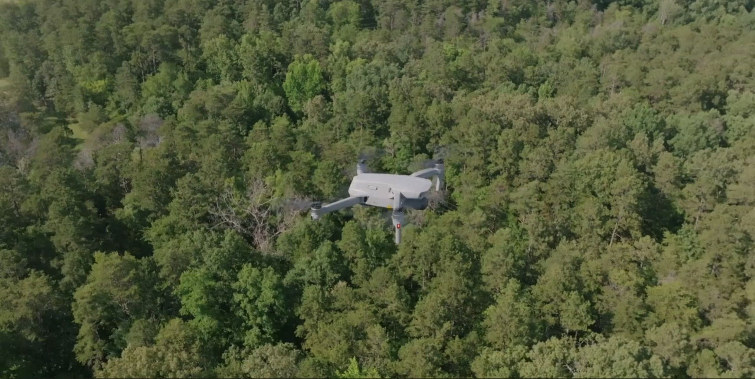
Our certified specialists visit your site and carry out precise measurements using modern geodetic equipment. Using aerial photogrammetry technology, surveying for larger areas can be done in a much shorter time.
Preparation & Approval
We prepare all required technical documents in accordance with Latvian regulations. We perform coordination with the municipality, the State Land Service, and other authorities. You don't have to deal with the paperwork.
Reviews
Long-term partnerships and client satisfaction are our priority.
"Very professional approach and fast turnaround. The topographic plan was ready sooner than expected, and the municipal approval process went smoothly."
Andris K.
Private client
"We have been working with Ventspils Mērnieks for several years. Always accurate, on time, and with complete documentation. I recommend them to any business in Kurzeme."
Gatis L.
Owner of SIA "TIKEM"
"The cadastral surveying involved multiple properties, which was complex, but the team handled everything and guided us at every step."
Inese B.
Private client
Certification
Our work is governed by Latvian regulations and professional standards. We are certified for geodetic works and maintain regular cooperation with state institutions, municipalities, and the State Land Service.
Geodetic works
AC0271
Since 2012
Questions
Answers to the most common questions about our surveying services.
Trusted Partners
.PderV8Sw_2uWBhg.webp)
.DnXlLODj_ZNMUfY.webp)









Request a consultation or ask about our services. We will reply shortly.
Map not loaded
Loading the Google Maps embed sends your data to Google. We only show the map after you agree.